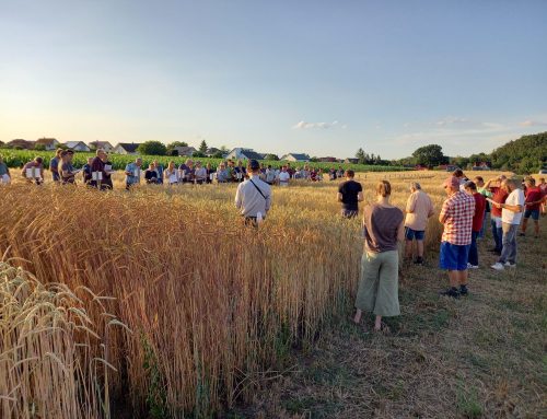
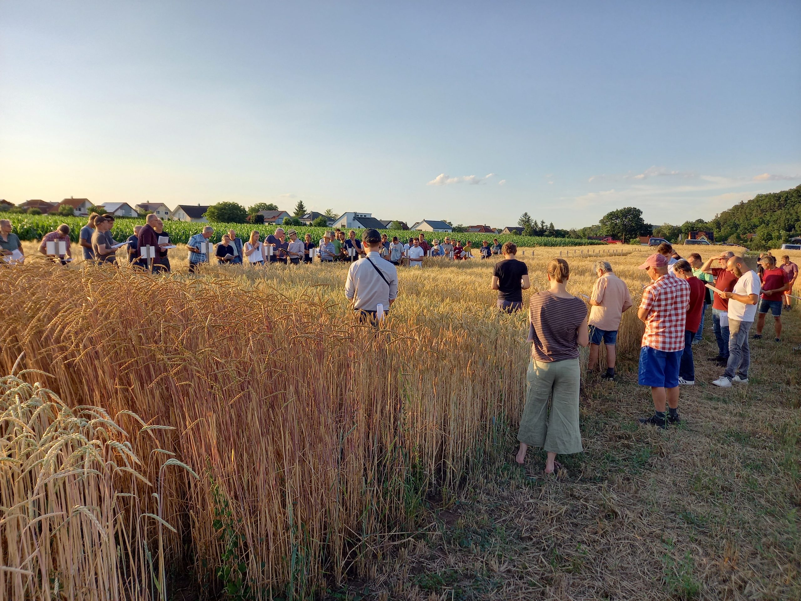
Sky views provide a better overview of trials, whether on an empty field to check its homogeneity before planting, or during cultivation to assess the overall condition of a trial.

Multispectral view of a bare field
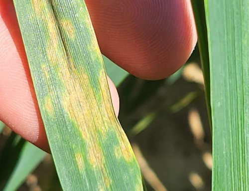
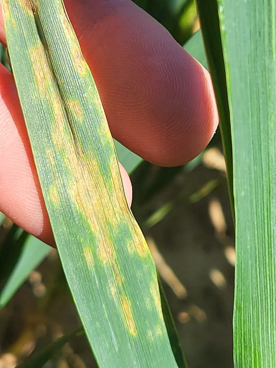
With one of our 12 drones dispatched across Europe, we are able to carry out RGB and multispectral photogrammetry to provide you with raw images or use them for precise ratings on each of the microplots in your trials: emergence count, weed detection, plant stress, plot coverage, vigor, Stay Green, lodging, cereal ear count, NDVI and other indices.
The advantages of drone scores are:
- they are quick to capture, enabling you to record an entire trial under the same conditions;
- they are more accurate;
- they provide data for the whole microplot and not just for small samples;
- they remove the notator effect;
- they are frozen in time, enabling you, for example, to record dynamic differences in vigor between biostimulants, or the speed of row and weed cover at different sowing spacings.

Plant cover percentages can often greatly minimize the impact of the field effect on your statistical results.
Using our own drones greatly reduces the time needed to set up a flight and means we can be more reactive when it comes to using available weather slots, which is particularly important during the spring season.
Through our drone tests since 2021, our GEP experience and our involvement in the EPPO group on the use of data from digital technologies in experimentation, we know that quality drone scoring must follow strict conditions of use and be validated during its deployment by a series of manual scores in the field.
The visuals resulting from drone flights and their analysis are demonstrative for your sales force and attractive for your customers.
Contact our team to discuss how can drone notation can be used in your trials: contact@staphyt.com

